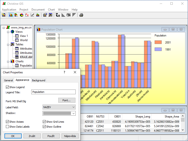
A chart is a graphic presentation of tabular data that provides a powerful additional visual representation of attributes associated with geographic features. A chart references data in a table in your project and defines how it will be displayed. A chart is dynamic so it reflects the current status of the data in the table. The same tabular data can be displayed on more than one chart. Different charts representing your data can be created for different purposes. You can use a chart to display, compare, and query your geographic and tabular data effectively.
 Column chart
 Bar chart
 Pie chart
 Line chart
 XY scatter chart
 Stacked chart
 Exporting and printing chart, etc…