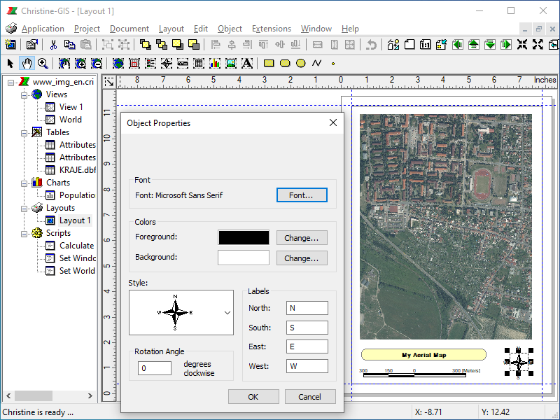
A layout is used to prepare a printing composition for output from Christine-GIS. The layout defines what data will be used for output and how they will be displayed. The layout provides the standard graphics and operations. These graphics are drawn using the draw tools and include points, lines, polygons, rectangles, and circles. The layout also contains objects specific to the Christine-GIS environment, including frames containing views, charts, and tables, and ancillary objects such as legends and scale bars. You can print the layout or export a layout to a number of formats to use with other software.
 Panning and zooming layout
 Snapping to grid, guidelines and objects
 Aligning objects
 Changing object’s order
 Grouping objects
 Exporting and printing layout, etc…