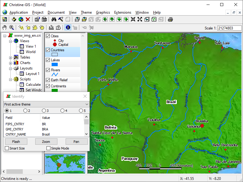
A view is an interactive map that lets you display, explore, query and analyze geographic data. A view defines the geographic data that will be used and how it will be displayed, but it doesn’t contain the geographic data files themselves. Instead, a view references these source data files.
A view is also a collection of themes. A theme represents a distinct set of geographic features in a particular geographic data source. Each theme points to a data source somewhere on your system. The data can be on a local disk or on a disk on the network. Many themes can be derived from the same data source, but an individual theme can only reference a single data source.
 Panning and zooming map
 Scale depend drawing and labeling map
 Measure, label and identify map features
 Selecting features in map interactive or by attributes
 Classifying spatial data
 Powerful and high adjustable map tips
 Support for coordinate systems and geografic projections
 Creating and editing spatial data
 Combining OGC WMS maps with local data
 Overview map, exporting and printing map, etc.